At EasyTechJunkie, we're committed to delivering accurate, trustworthy information. Our expert-authored content is rigorously fact-checked and sourced from credible authorities. Discover how we uphold the highest standards in providing you with reliable knowledge.
What is ArcGIS® Software?
A Geographic Information System (GIS) is a program that uses a combination of map information and databases to display, edit, and analyze data that is connected to geographic locations. ArcGIS® software, produced by the Environmental Systems Research Institute (ESRI), is one of the more common suites of GIS computer applications. It includes tools to create and edit maps, create databases of geographic information, store and analyze data, and produce reports or charts of results. Several extensions to the main program are available, which can perform more advanced functions. ArcGIS® software is used by professionals in many fields, including the environmental sciences, biology, engineering, archeology, city planning, and surveying.
The function of ArcGIS®, which is probably most obvious to those who are not familiar with GIS programs, is to create and edit maps. In this software, maps are separated into pieces called layers, and, depending on the purpose of the map, a single one may contain only a few — or many — different layers. These are especially useful for analysis because it is often necessary to perform one type of analysis on one set of data and another type on another set, and layers make it simple to do this. They can also be toggled on or off to control how much is displayed in the workspace.

In order to perform GIS analysis, it is necessary to understand the different types of data used by ArcGIS® software. Data may be in either vector or raster form. Vector data is discrete, meaning that it is a set of points generally used for data, like the locations of houses. Raster data is a continuous surface, and is used to track information such as population density or average rainfall. The data must be in the correct form in order to use most ArcGIS® tools.

Both vector and raster images may have additional attributes that are joined to them in database tables. Many types of GIS analysis rely on this data, which could include details like precipitation, soil type, species diversity, distance to another point, and many other attributes. To use the example of precipitation, an ArcGIS® software user could use map algebra to convert all the measurements from inches to millimeters, or to interpolate vector data to a raster surface, in order to estimate the rainfall at other points. It could also use statistical analysis to compare the precipitation in different areas. There are numerous other types of analysis that can be performed by ArcGIS® software, depending on the available data and desired results.
Besides all the tools available in the basic ArcGIS® software packages, several extensions are available to perform other types of analysis. Spatial and geostatistical extensions provide more advanced data analysis options, while a 3D extension provides the basic ArcGIS® functions in three dimensions. Others specialize in surveying data, analyze networks, and provide GIS compatibility with Computer Aided Drafting (CAD) programs. ArcGIS® software provides many ways to analyze geographical information, and has numerous diverse applications.
AS FEATURED ON:
AS FEATURED ON:

-
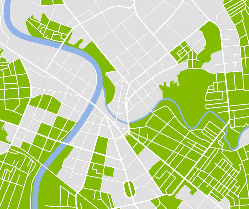
![ArcGIS software combines map information and databases to display information in map form.]() By: Nataly-NeteArcGIS software combines map information and databases to display information in map form.
By: Nataly-NeteArcGIS software combines map information and databases to display information in map form. -
![ArcGIS software is often used by people who work in ecology and the environmental sciences.]() By: eliaskordelakosArcGIS software is often used by people who work in ecology and the environmental sciences.
By: eliaskordelakosArcGIS software is often used by people who work in ecology and the environmental sciences.

Discuss this Article
Post your comments